Blog
Guides, walkthroughs, and explainers from the Georaf team. Plain language. No GIS background required.
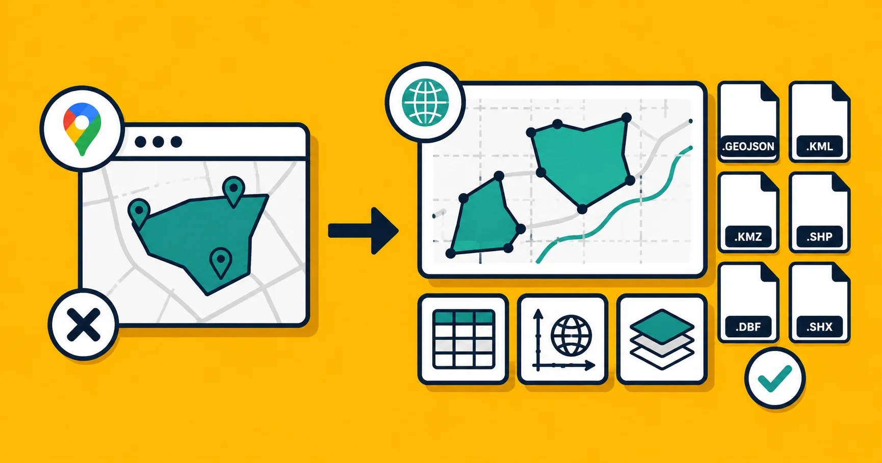
Why Google My Maps Isn't Enough (And What to Do Instead)
Google My Maps is free and familiar, but it hits walls fast. Here are the real limitations and three better paths depending on what you need.
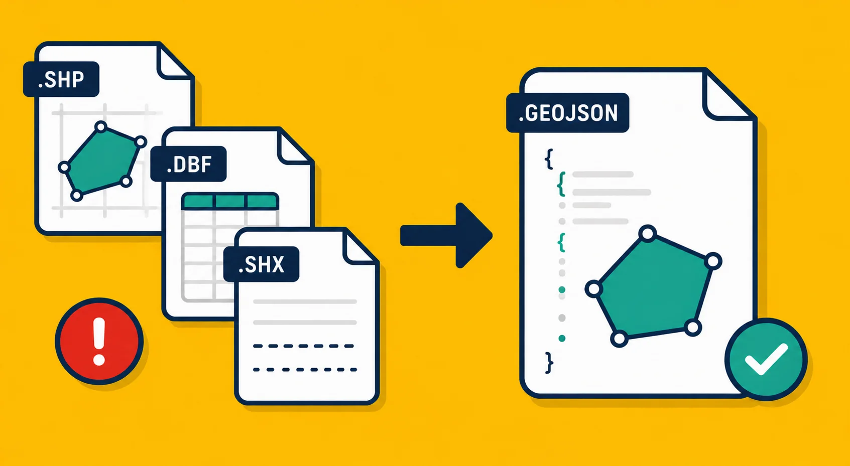
The Shapefile Is Dead. Here's What to Use Instead
Shapefile has been the default geodata format since 1993. Its limitations are real and well-documented. Here is what to use in 2026 and when the old format still makes sense.
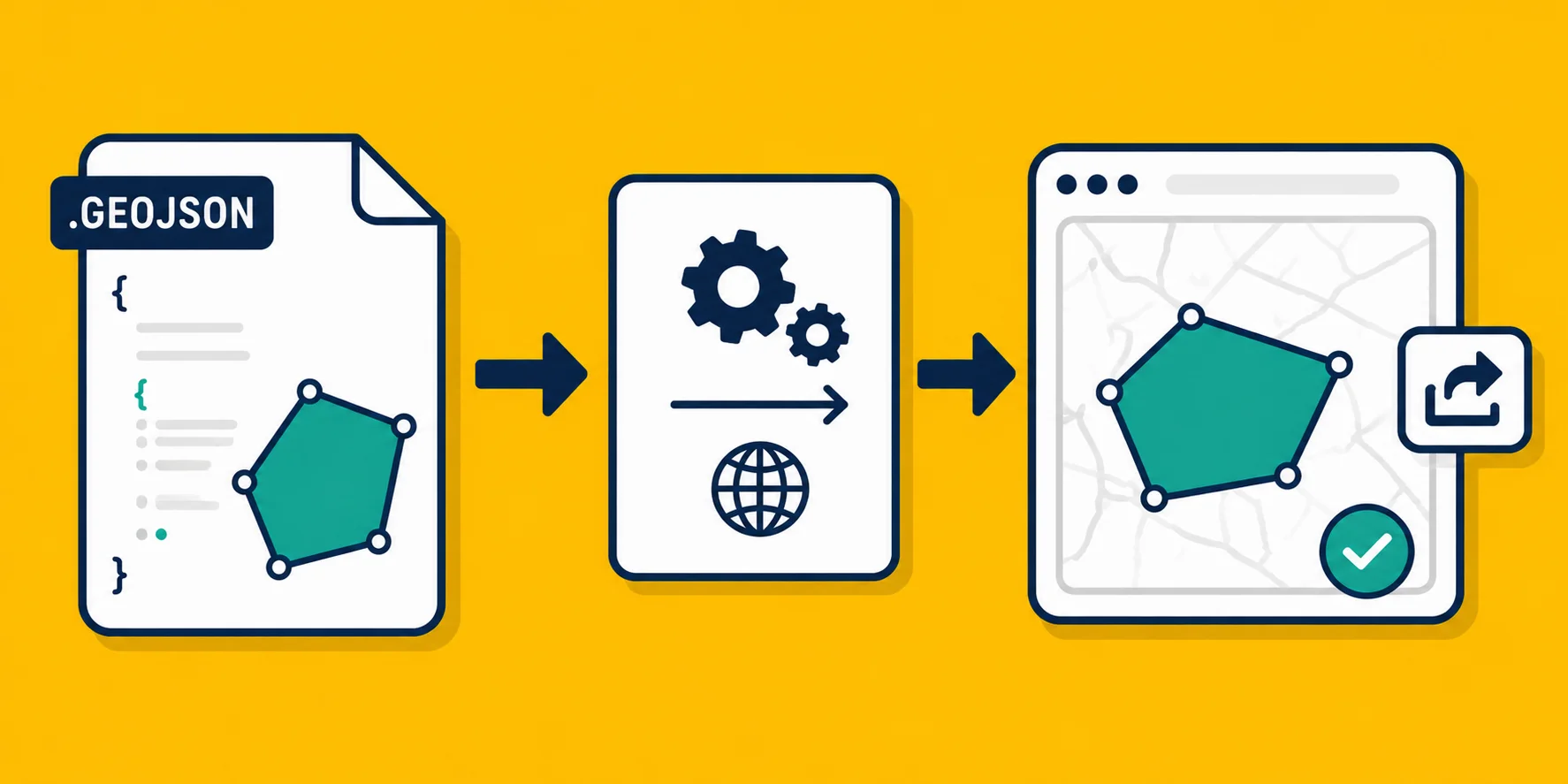
How to Share a Map With Someone Who Doesn't Have GIS Software
Your colleague needs to see your map data but does not have QGIS or ArcGIS. Three practical ways to share geodata with non-technical people.
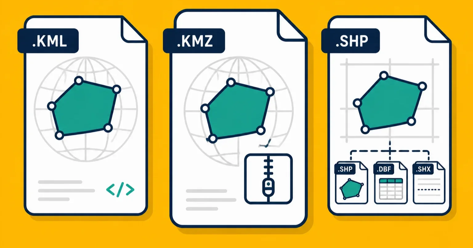
KMZ vs KML vs Shapefile: Which Format Should You Actually Use?
Three common geodata formats, three different strengths. A practical comparison to help you pick the right one for how you work.
Why Your Map Data Ended Up in the Wrong Country (And How to Fix It)
Your map entries are showing up on the wrong continent. The problem is almost always a coordinate system mismatch. Here is why it happens and how to fix it.
What Is a Shapefile? (And Why Does It Come as a Bunch of Files?)
A Shapefile is not one file. A plain-English explanation of what the .shp, .dbf, .shx, and .prj files are, why they travel together, and what to do with them.
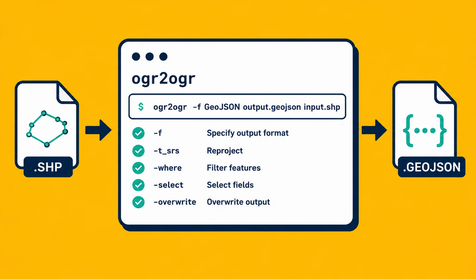
ogr2ogr for Beginners: The Only Commands You Actually Need
ogr2ogr is the Swiss Army knife of geodata conversion. Here are the five commands that cover 90% of real-world use, explained without assuming you know GDAL.
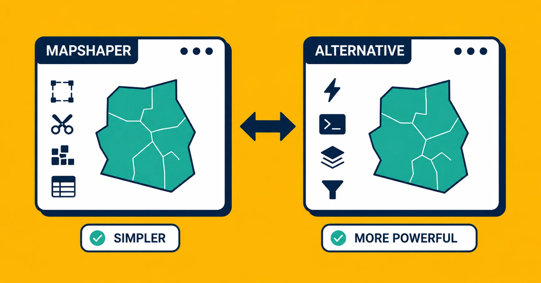
Mapshaper Alternative: When You Need Something Simpler (or More Powerful)
Mapshaper is great for simplifying geometry, but it is not a complete converter or validator. Here is when to use it and when something else fits better.
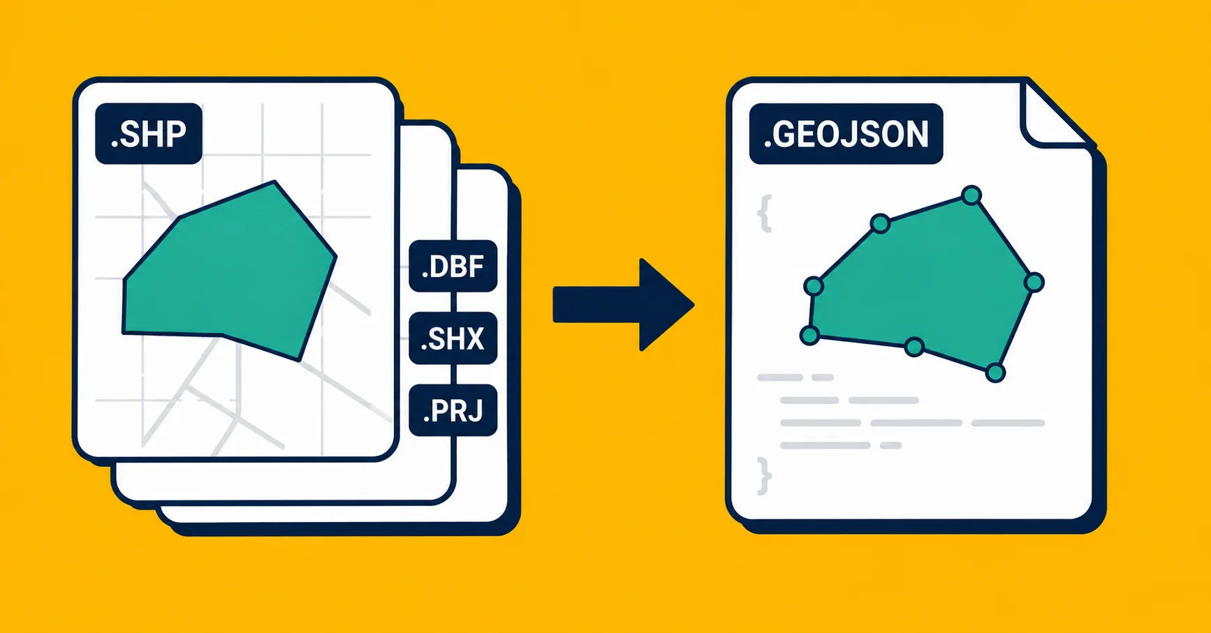
Convert Shapefile to GeoJSON: The Complete Guide
Three ways to convert a Shapefile (.shp) to GeoJSON. A practical guide covering web tools, command-line, and Python, with honest trade-offs for each.
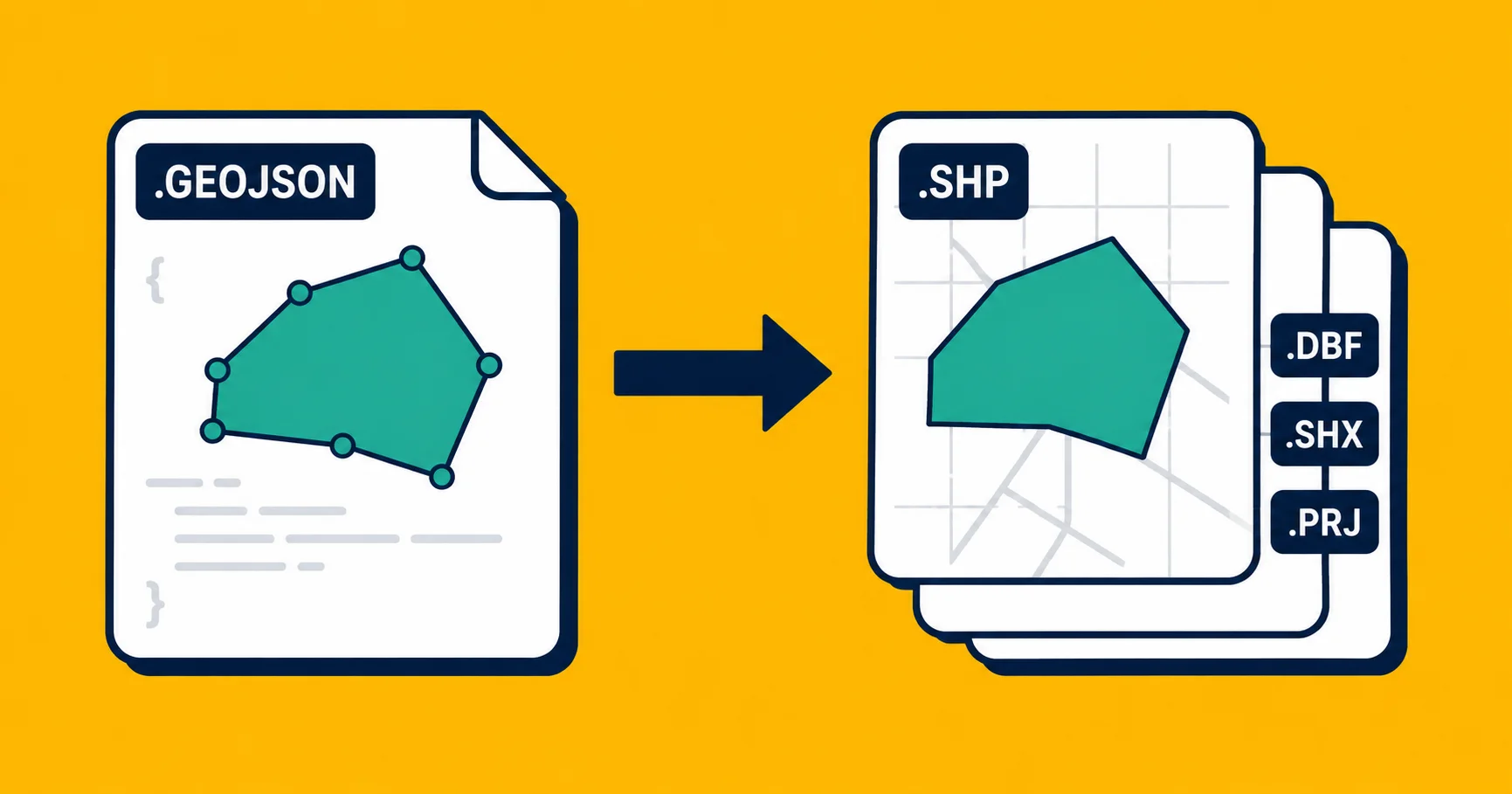
Convert GeoJSON to Shapefile: 3 Ways That Actually Work
Three practical ways to turn a GeoJSON file into a Shapefile, from a one-click web tool to command-line. No GIS background needed.
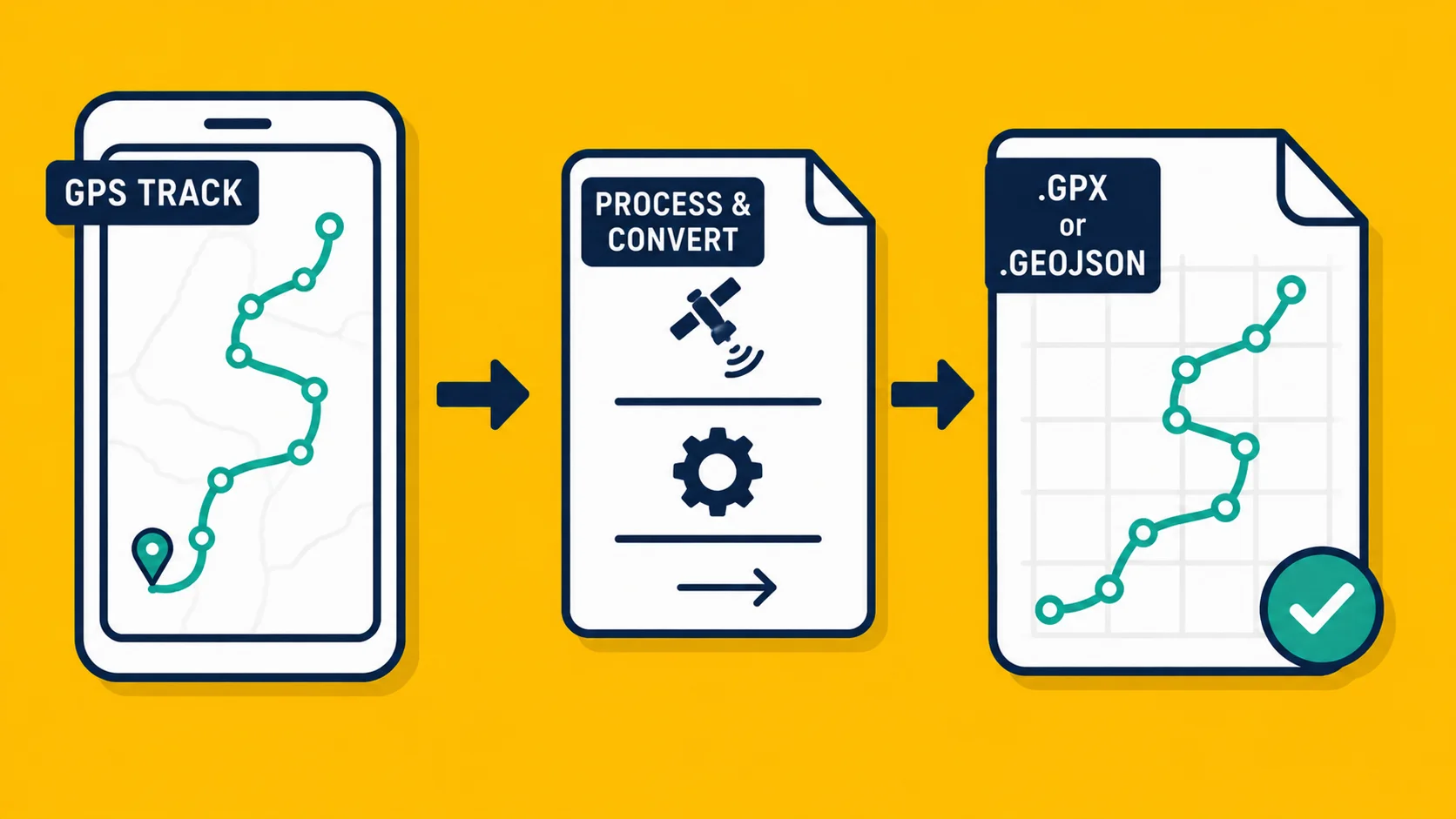
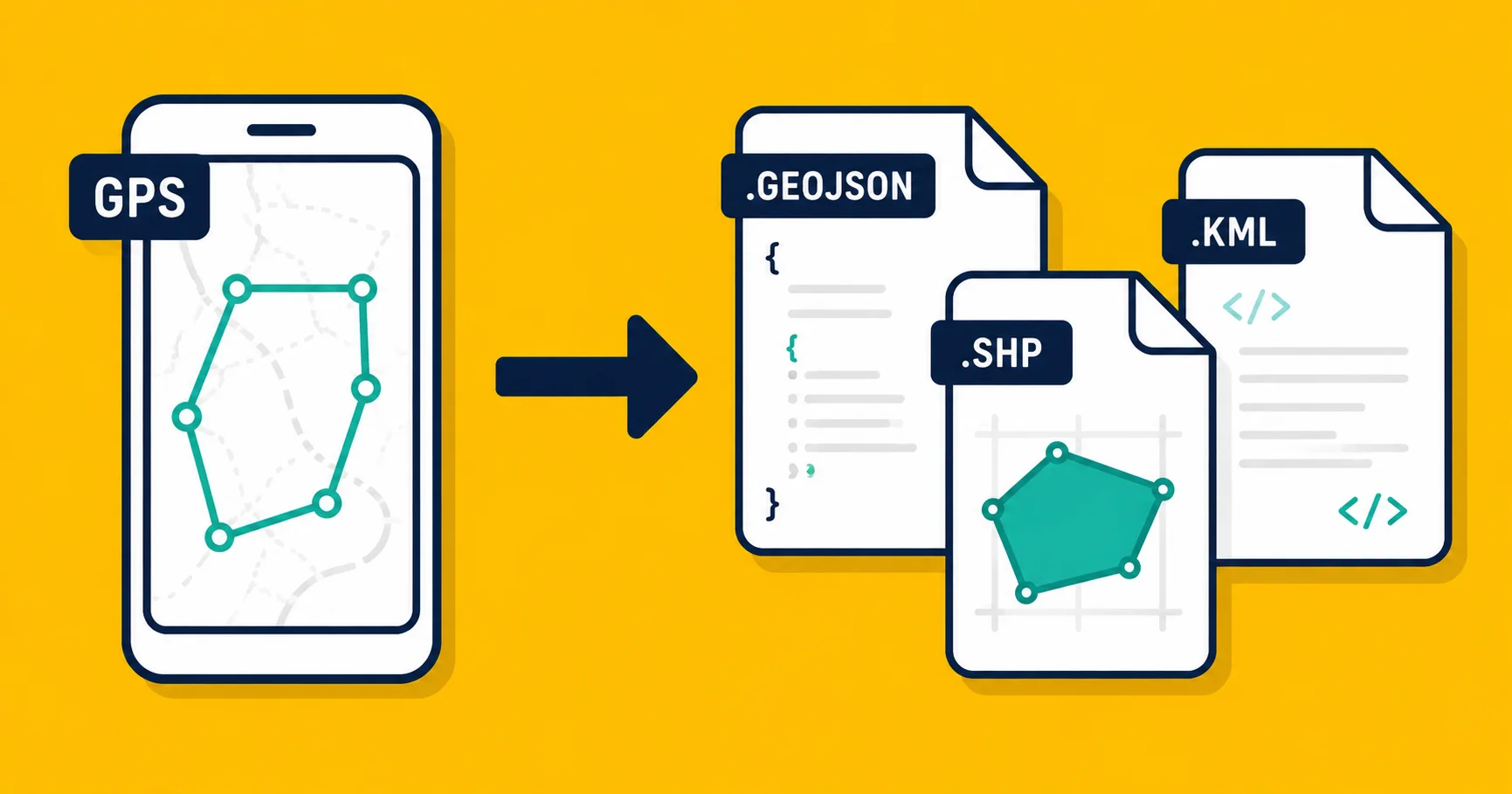
How to Record a GPS Track and Turn It Into a Map File
Walk a path, record it with GPS, and export it as a KML or GeoJSON file you can open anywhere. A practical guide for field workers and outdoor professionals.
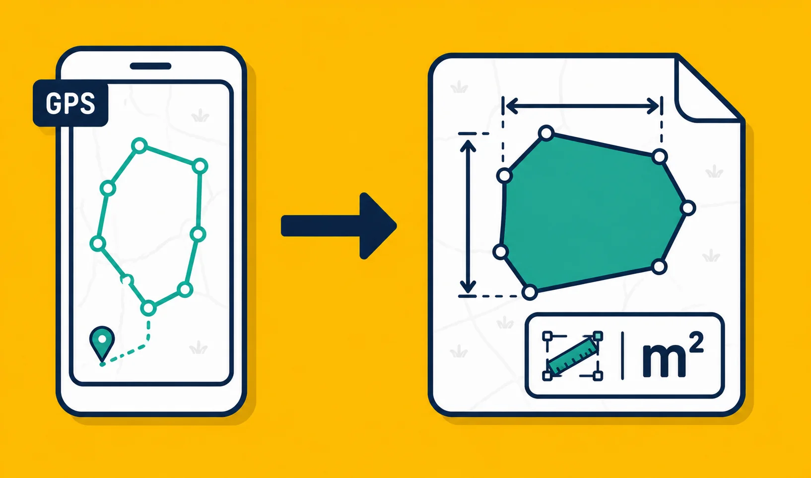
How to Measure Land Area With Your Phone (No Surveyor Needed)
You can measure a field, plot, or property from your phone using GPS. Here is how it works, how accurate it is, and what apps actually produce usable files.
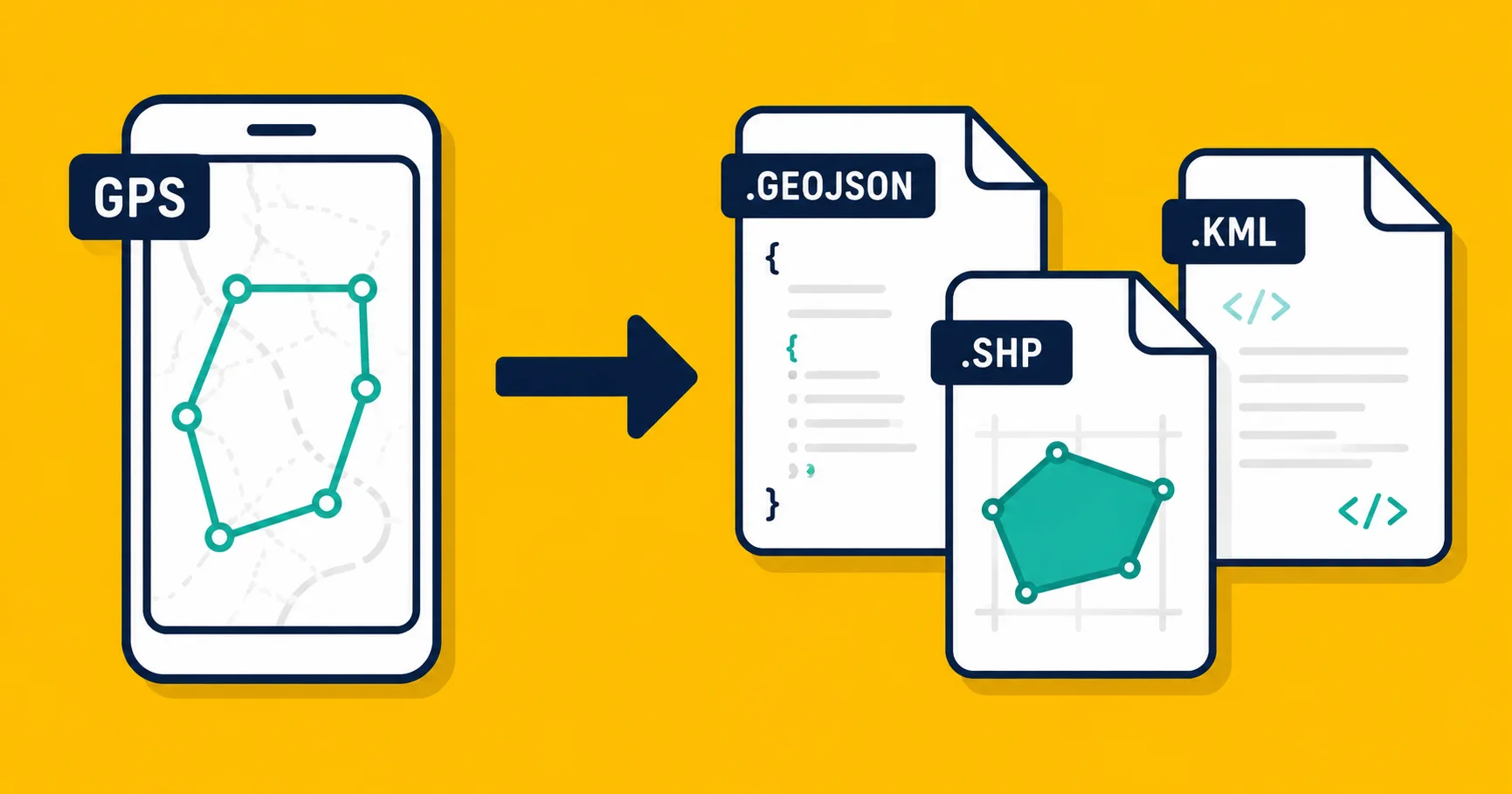
Landplot: A GPS Field Mapping App That Works Offline and Exports to Real Formats
Landplot is a free iOS and Android app for GPS field mapping. Drop markers, draw areas, record walked paths, attach geotagged photos, and export to KML, KMZ, or GeoJSON.
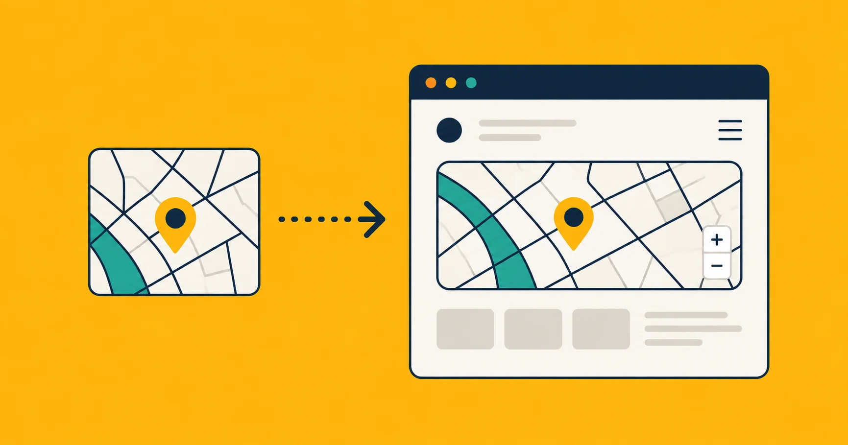
How to Embed an Interactive Map on Your Website (Without Mapbox or Leaflet)
Three ways to put an interactive map on a website, from copy-paste iframes to full JavaScript libraries. Pick by how much you want to learn and pay for.
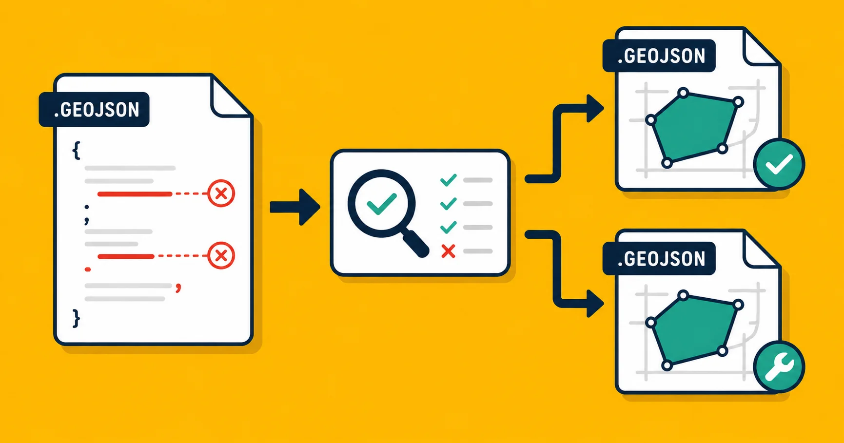
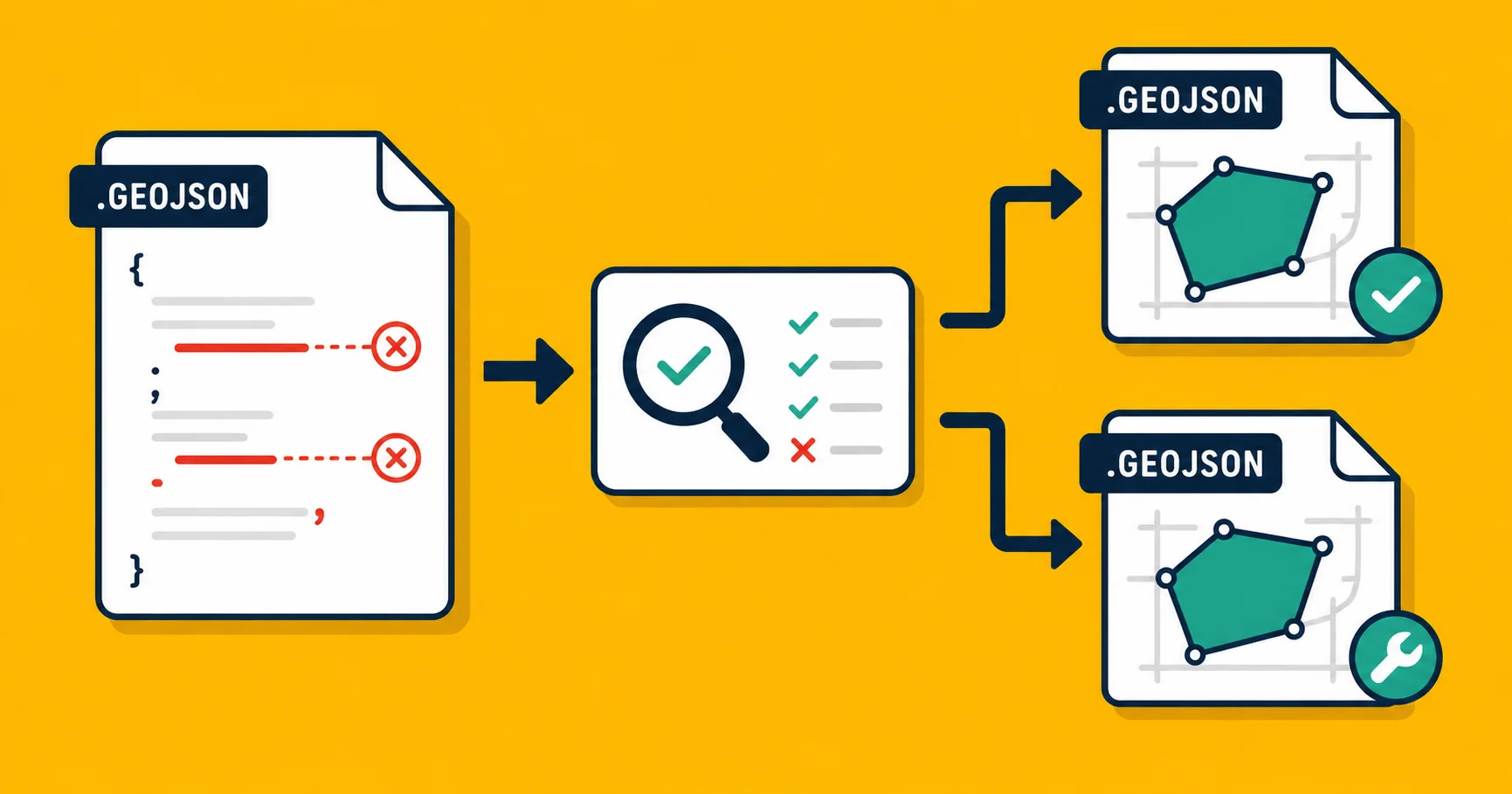
How to Validate a GeoJSON File (and What to Do When It's Broken)
GeoJSON files break in subtle ways. How to check yours, what each kind of error means, and how to fix the common ones in plain English.
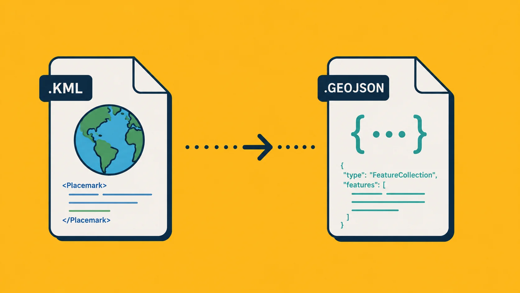
Convert KML to GeoJSON: 3 Ways, No GIS Knowledge Needed
Three practical ways to turn a KML or KMZ file into GeoJSON, from drag-and-drop to command-line. Pick the one that fits how you work.
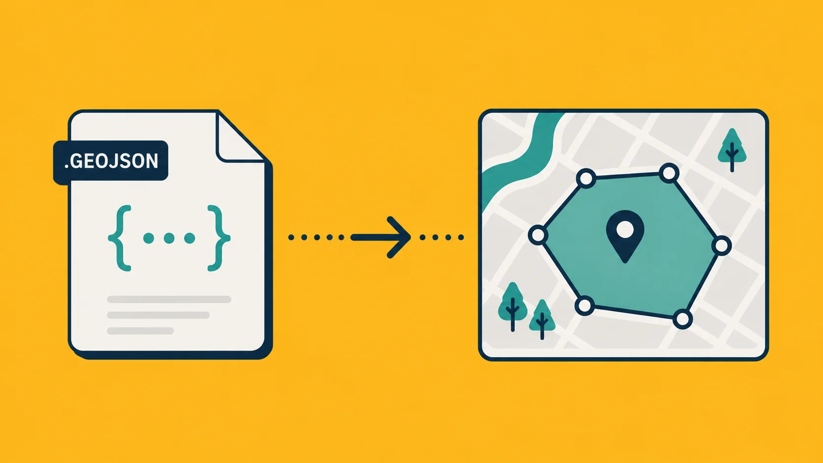
What Is GeoJSON? A Plain-English Guide for Non-GIS People
GeoJSON is JSON for maps. A practical explainer for people who keep seeing the word and want a real answer, not a Wikipedia paragraph.
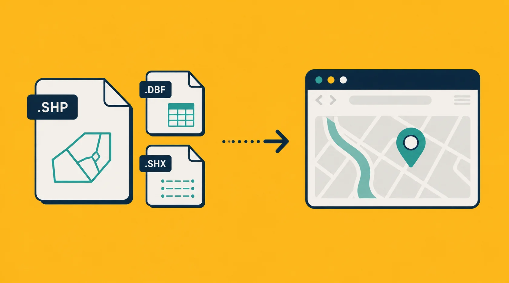
How to Open a Shapefile Without QGIS (Three Free Ways)
A Shapefile is not actually one file. Three practical ways to open it and see what's inside, none of them require installing QGIS or any other GIS software.
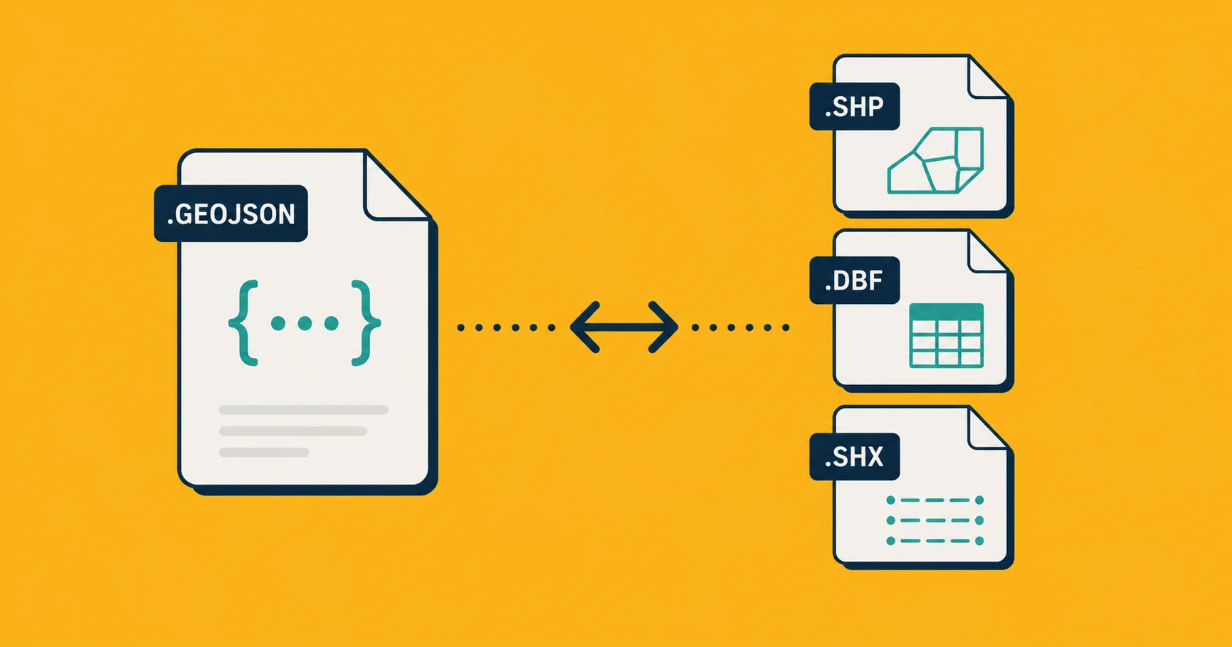
GeoJSON vs Shapefile: Which Should You Use in 2026?
Shapefile is the legacy standard. GeoJSON is the modern default. Here is which one to pick for your situation, and when the old answer is still right.
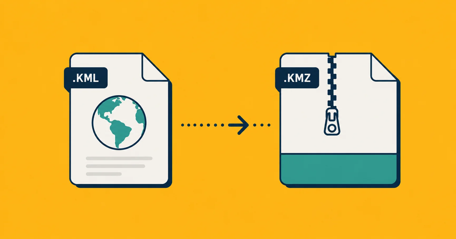
KMZ vs KML: What's the Difference, and Which Should You Use?
KMZ is a zipped KML with extras. A practical explainer of the difference, when to pick one over the other, and how to open or convert either.
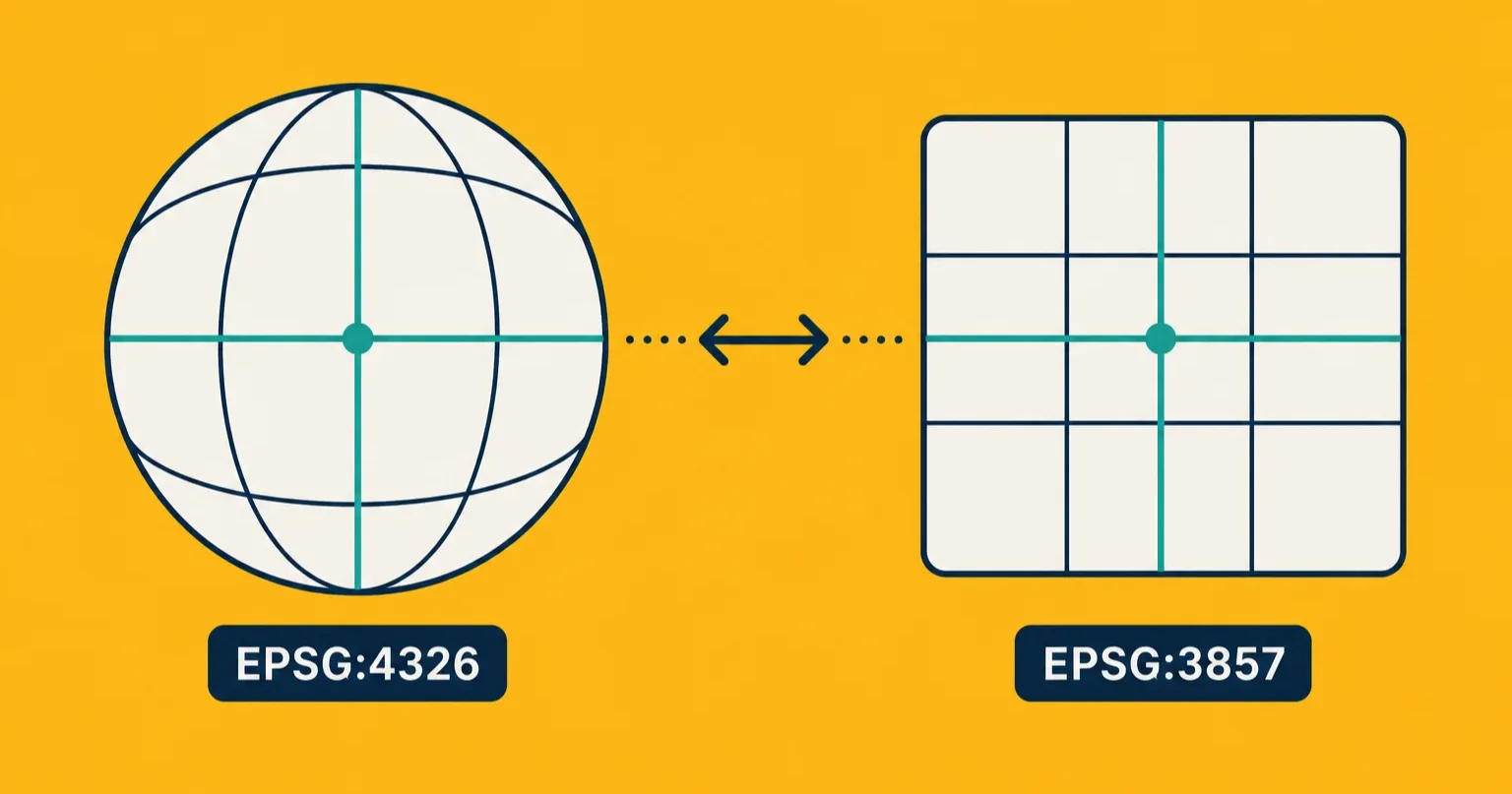
EPSG:4326 vs EPSG:3857: When to Use Which Coordinate System
Both are called Web Mercator by people who don''t know the difference. Here is what each one actually is, and which one your project needs.
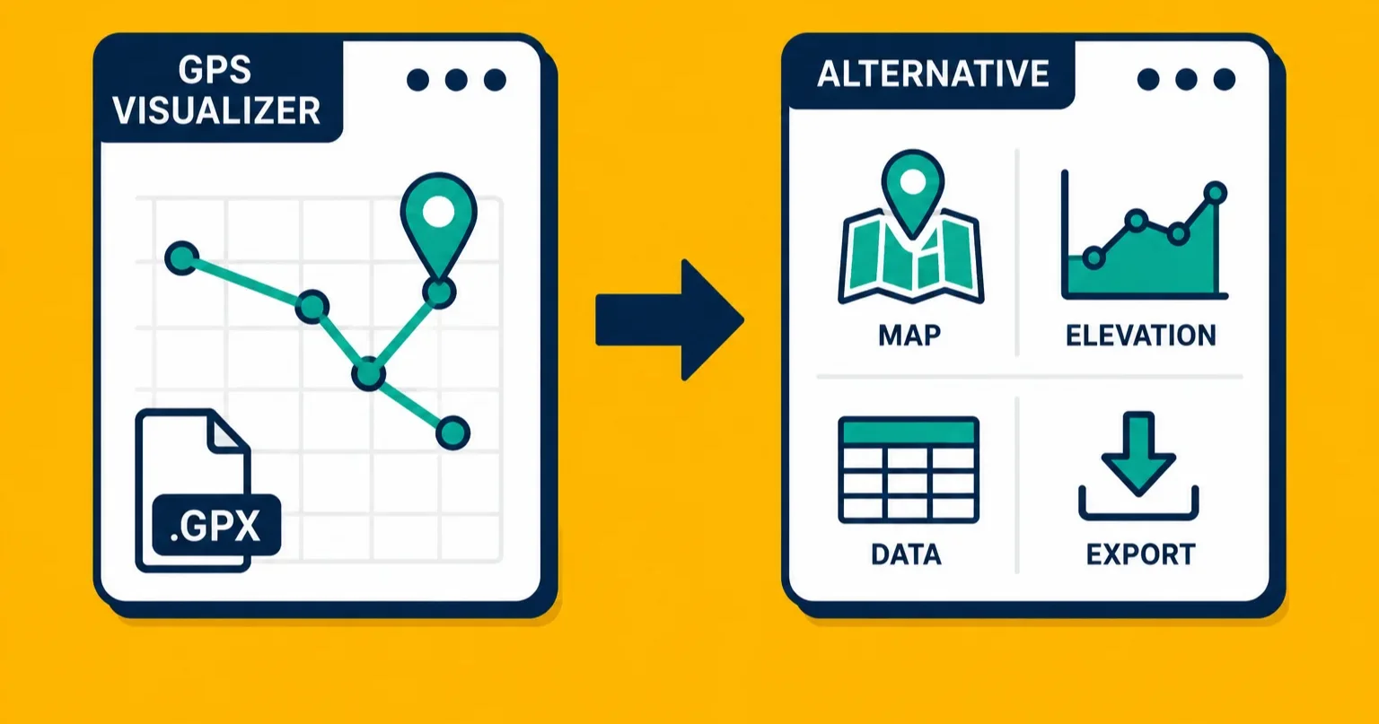
GPS Visualizer Alternative: Better Options for Viewing and Converting GPS Data
GPS Visualizer has been the go-to free tool for years. Here is what it does well, where it falls short, and what to use instead in 2026.
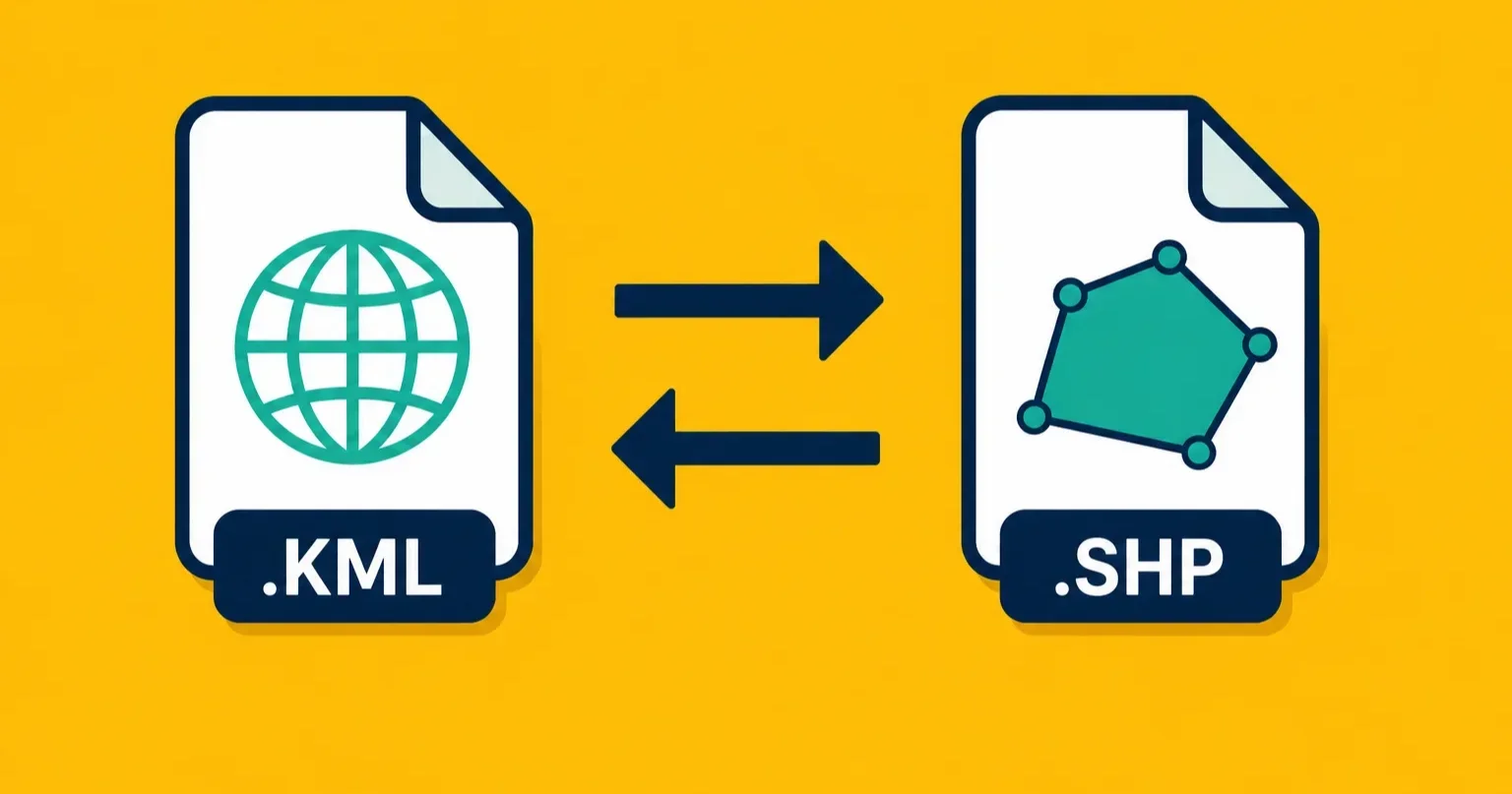
Convert KML to Shapefile (and Shapefile to KML)
Two of the most common geodata conversions in one guide. Three ways to go from KML to Shapefile and back, with honest trade-offs.
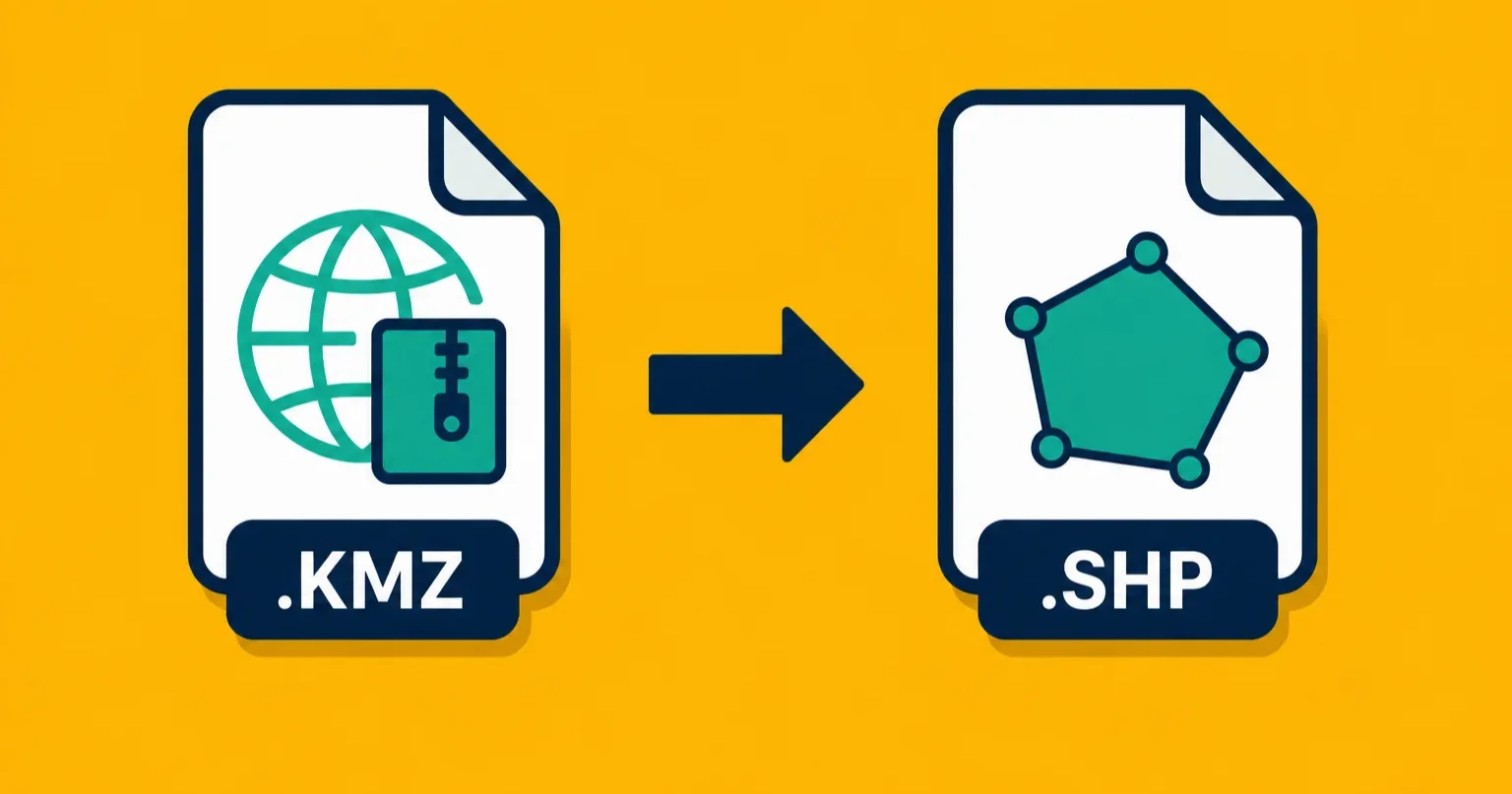
Convert KMZ to Shapefile: A Step-by-Step Guide
KMZ files from Google Earth need to become Shapefiles for GIS software. Three ways to do the conversion, plus what happens to your embedded photos.
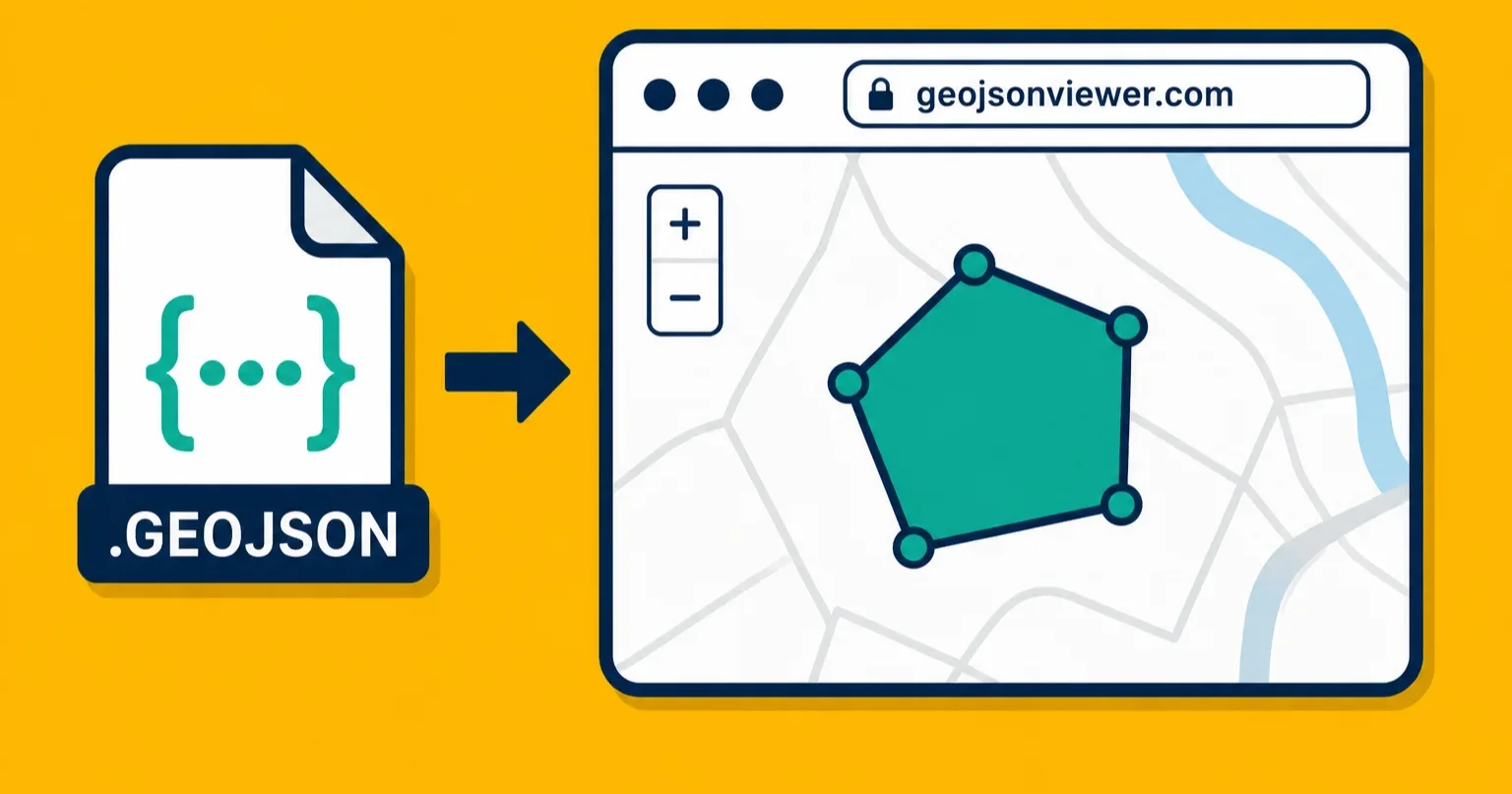
View GeoJSON Online: 5 Free Tools to See What Is in Your File
You have a GeoJSON file and want to see it on a map without installing anything. Five free online viewers compared, with honest pros and cons.
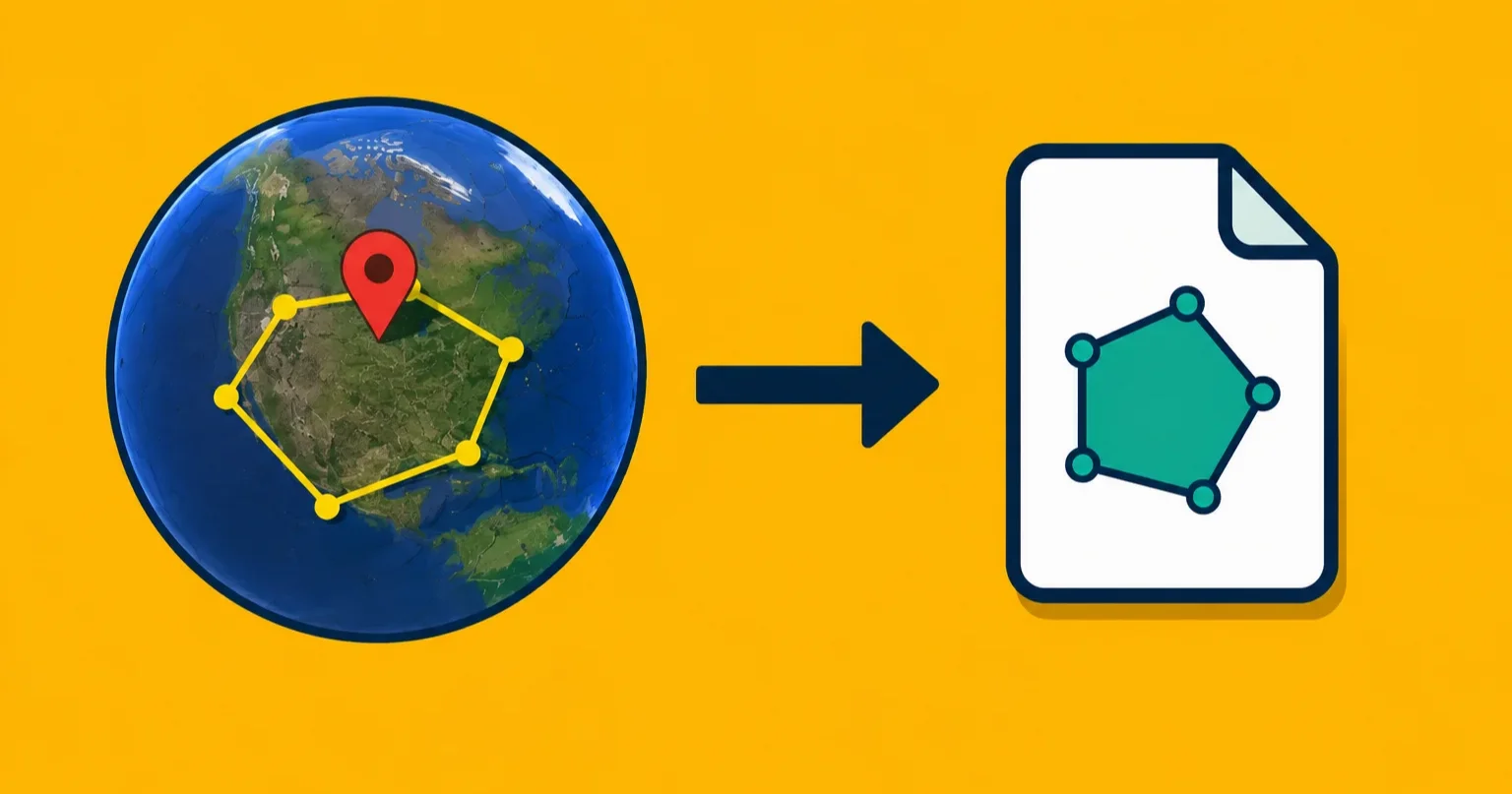
How to Create a Polygon in Google Earth and Export It
Draw a polygon in Google Earth, save it as KML, and convert it to whatever format you need. A step-by-step guide for non-GIS people.