 Georaf Team
How to Open a Shapefile Without QGIS (Three Free Ways)
A Shapefile is not actually one file. Three practical ways to open it and see what's inside, none of them require installing QGIS or any other GIS software.
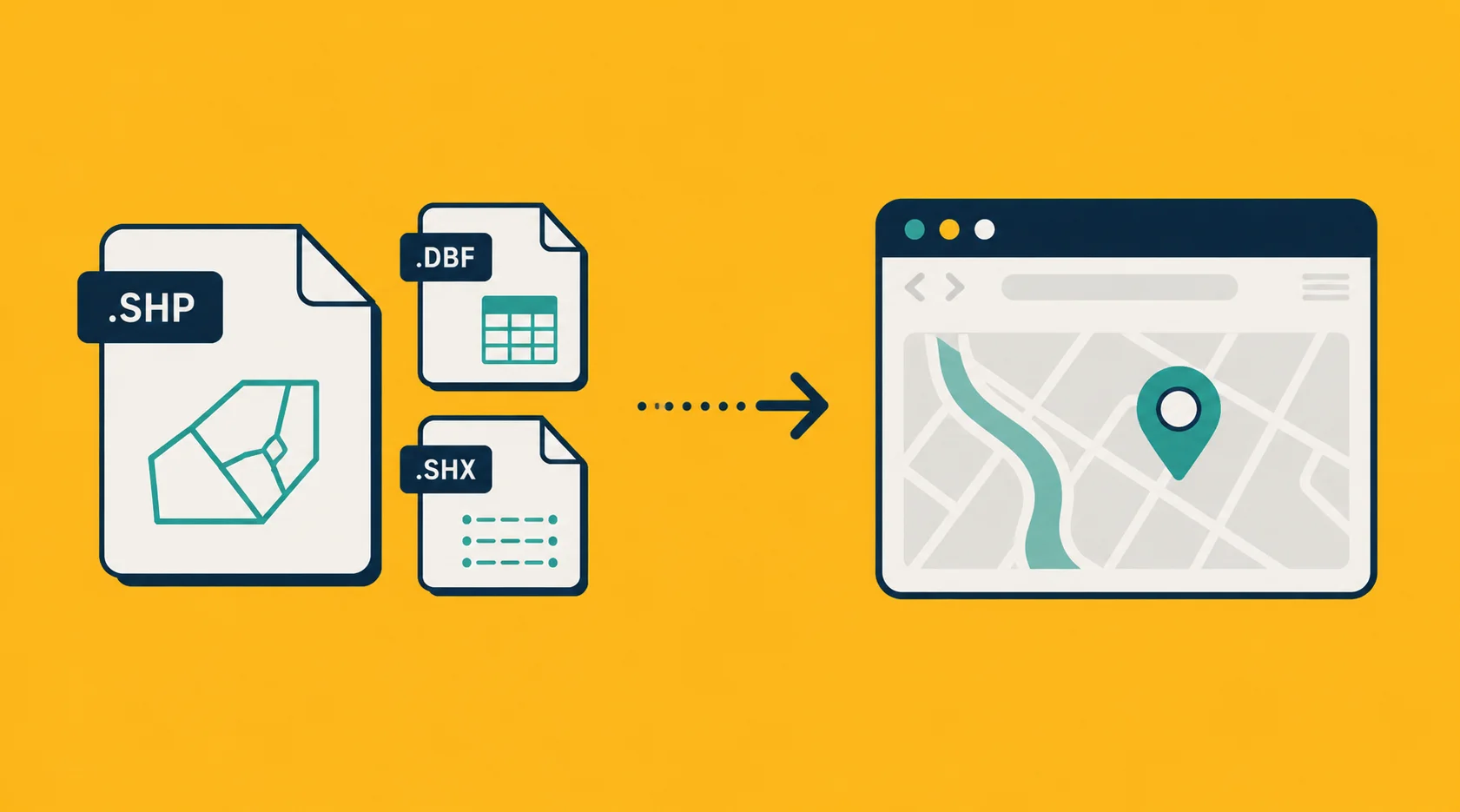
Somebody sent you a Shapefile. Maybe it came from a city planner, a surveyor, a public data portal, or a colleague who exports their work from ArcGIS without thinking twice about what that's like to receive. Either way, you're looking at a file ending in .shp and you don't have QGIS installed, you don't want to install QGIS, and you just need to see what's in there.
The good news: opening a Shapefile in 2026 is easier than ever. The bad news, which trips up almost everyone the first time: a Shapefile is not actually a single file.
This piece walks through what that means, and three free ways to view a .shp without installing any traditional GIS software.
Wait, what do you mean it's not one file?
Open up the folder where your Shapefile lives. You'll probably see something like this:
my_data.shp
my_data.shx
my_data.dbf
my_data.prj
my_data.cpg
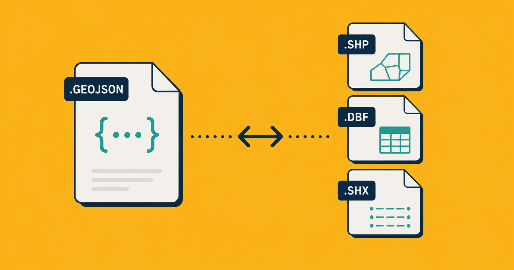
All of those, taken together, are the Shapefile. The .shp holds the geometry (the coordinates of every point, line, and outline). The .shx is an index. The .dbf holds the property data (the names, IDs, populations, whatever attached to each entry). The .prj says what coordinate system the file uses. The .cpg is character encoding.
You need all of them in the same folder, with the same base name, for any tool to read the file. If somebody emailed you just the .shp and nothing else, the file is unusable. You'll need to ask for the rest.
Most of the time, what you actually receive is a .zip containing all five (or however many) sibling files. That's the convention. Don't unzip it unless your tool needs you to, half the time the tool will unzip it for you.
Method 1: Drop it on a web converter
The fastest option, especially if the Shapefile came as a zip.
- Open georaf.com.
- Drag your
.zip(or the.shpplus all its siblings) onto the upload zone. - Pick a format you actually want to work with. GeoJSON for code, KML for Google Earth, or just preview it on the map.
- Click Convert. Or, if you don't even want to convert, click "View on map" to see the entries without changing format.
That's the entire workflow. No installs, works on mobile.
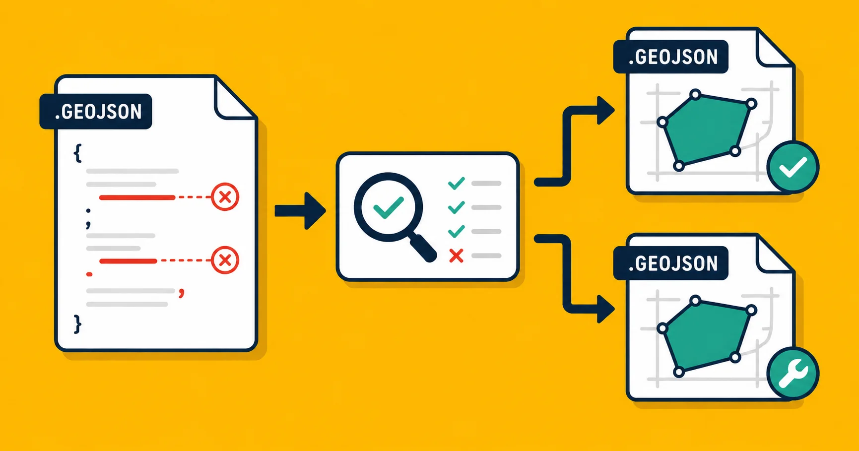
What you also get for free is a quality check on the data. Shapefiles in the wild are often slightly broken: entries with bad geometry, missing properties, coordinate systems declared in one file but contradicted by the actual coordinates. Most viewers silently render whatever they can. Ours flags the issues so you know what you're dealing with before you build anything on top.
Best when: you have one file, you need to see it now, you don't want to install anything.
Method 2: An offline desktop viewer (not QGIS)
If you don't want to send the data to a web service (privacy, contract, air-gapped network), there are lightweight desktop viewers that read Shapefiles without dragging in the full QGIS toolchain.
Mapshaper desktop (mapshaper.org). The same tool also runs in your browser without uploading, the conversion happens client-side. Drop your zip in, get a quick preview, export to GeoJSON or TopoJSON. Made by Matthew Bloch, originally for journalism work.
OGR2OGR command-line. If you're already comfortable in a terminal, this is the most powerful option. Convert to anything, in a one-liner:
ogr2ogr -f GeoJSON output.geojson input.shp
It needs all the sibling files in the same folder. If you only have the zip, unzip it first.
Best when: you can't or won't use a web service, but you don't want the full QGIS install.
Method 3: Python (if you're already in a notebook)
If your Shapefile is one step in a larger data workflow and you're already in Python, just read it into geopandas:
import geopandas as gpd

gdf = gpd.read_file('my_data.shp')  # or 'my_data.zip'
print(gdf.head())
gdf.plot()  # quick visual check
geopandas reads zipped Shapefiles natively, so you don't even need to unzip first. The gdf.plot() line gives you a quick matplotlib preview, enough to confirm the data is in the right place on the map (and not in the middle of the ocean, which would mean a coordinate-system problem).
Best when: you're doing analysis or transformation, not just viewing.
Which one should you actually use?
| Your situation | Use |
|---|---|
| You just need to see what's in there, today | Georaf |
| You also need to fix problems in the file | Georaf health check |
| The data is sensitive and stays on your machine | Mapshaper or ogr2ogr |
| It's part of a Python workflow | geopandas |
| You need to do real GIS analysis | At that point, QGIS or ArcGIS is the right answer |
The 80% case is Method 1. The 20% who need offline or scripted access know who they are.
A few things that catch people out
"Missing required file": somebody sent you just the .shp. You need the .shx and .dbf at minimum. Ask for the full set.
The data shows up in the wrong country: the file's coordinate system declaration is missing or wrong. The geometry is fine, the interpretation is off. Most viewers will silently assume WGS 84 and place your meter-based local data somewhere off the coast of Africa.
Property names are truncated: the .dbf format has a hard 10-character cap on field names. If you see fields like populatio instead of population, that's the Shapefile spec, not the tool. Convert to GeoJSON and you get the full names back (assuming the source preserved them, which it usually doesn't).
Special characters look garbled: the character encoding (.cpg) is wrong or missing. Most modern tools handle this automatically, but very old Shapefiles can show "Köln" as "K�ln". GeoJSON's UTF-8 default fixes it on conversion.
Wrapping up
A Shapefile is a 1990s format. It still exists because it's everywhere in the GIS world, but if you only need to view or share data, convert it to GeoJSON once and never deal with the multi-file sidecar mess again.
If you want to see what's in a .shp right now and you're not committed to a particular tool, drop it on Georaf. It opens, validates, and converts in the same click.