 Georaf Team
How to Share a Map With Someone Who Doesn't Have GIS Software
Your colleague needs to see your map data but does not have QGIS or ArcGIS. Three practical ways to share geodata with non-technical people.
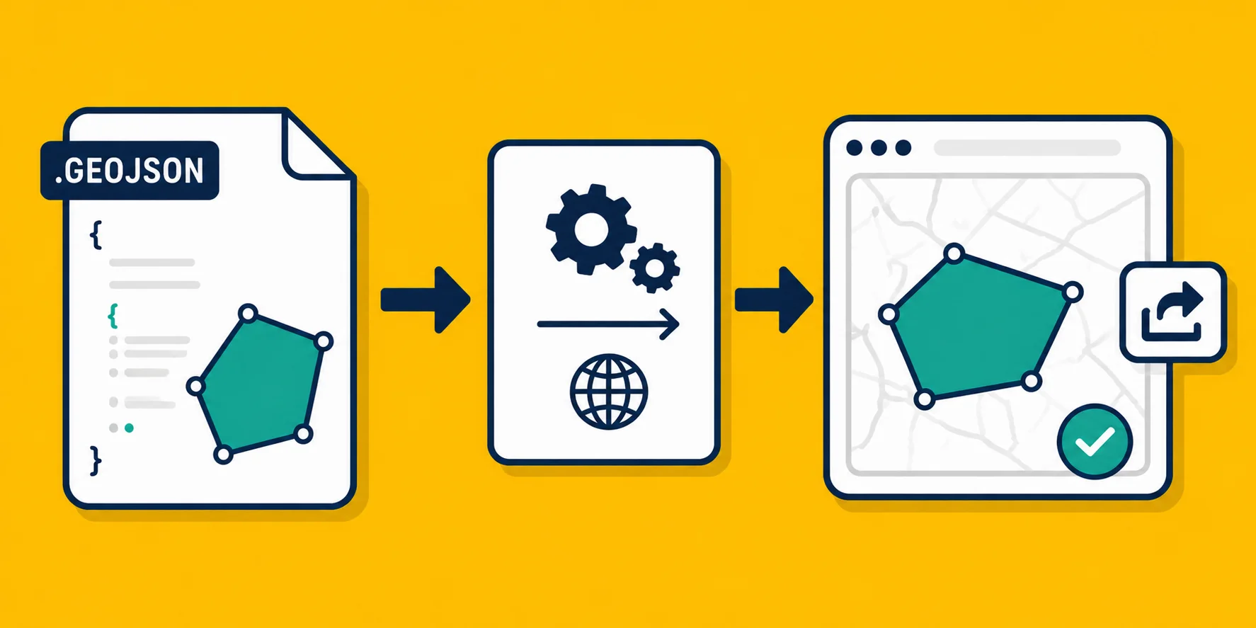
You've spent time drawing boundaries, marking points, and building a dataset that tells a clear story on a map. Then someone asks: "Can you send that to me?"
The problem is that your file is a Shapefile or a GeoJSON, and the person asking has never opened QGIS in their life. They don't have ArcGIS. They're not going to install anything. They just need to see the map.
This happens constantly for consultants, field teams, real estate professionals, and anyone who creates map data but works with people who don't. Here are three ways to handle it, each suited to a different situation.
Option 1: Export as KMZ and send it to Google Earth
Google Earth is free, runs in a browser at earth.google.com, and can open KMZ files without any account or setup. Most people already have a Google account. This makes it one of the easiest ways to get map data in front of someone quickly.
KMZ is the compressed version of KML, a format that Google Earth was built around. If your data is already in KML or KMZ, you're done. If it's in another format like Shapefile or GeoJSON, you need to convert it first.
Georaf.com converts Shapefiles, GeoJSON, and KML files to KMZ in a few clicks. Upload your file, export as KMZ, and send the file.
Your colleague's steps: download the KMZ file, go to earth.google.com, and drag the file onto the map. That's it. They'll see your entries plotted exactly as they appear in your GIS tool.
When this works well: Sharing with someone for a one-time review. Clients who need to see property boundaries, survey areas, or field site locations. Anyone comfortable with Google.
Where it falls short: Google Earth doesn't let the recipient interact with attribute data easily. If your entries have a lot of metadata attached, like survey results or property details, it mostly stays hidden. The map looks right, but the data behind it isn't easy to explore. Also, the file lives in their Downloads folder. If you update the data, you have to resend.
Option 2: Embed the map on a webpage
If you want something the recipient can open in any browser, on any device, without downloading a file, an embedded map is the right move.
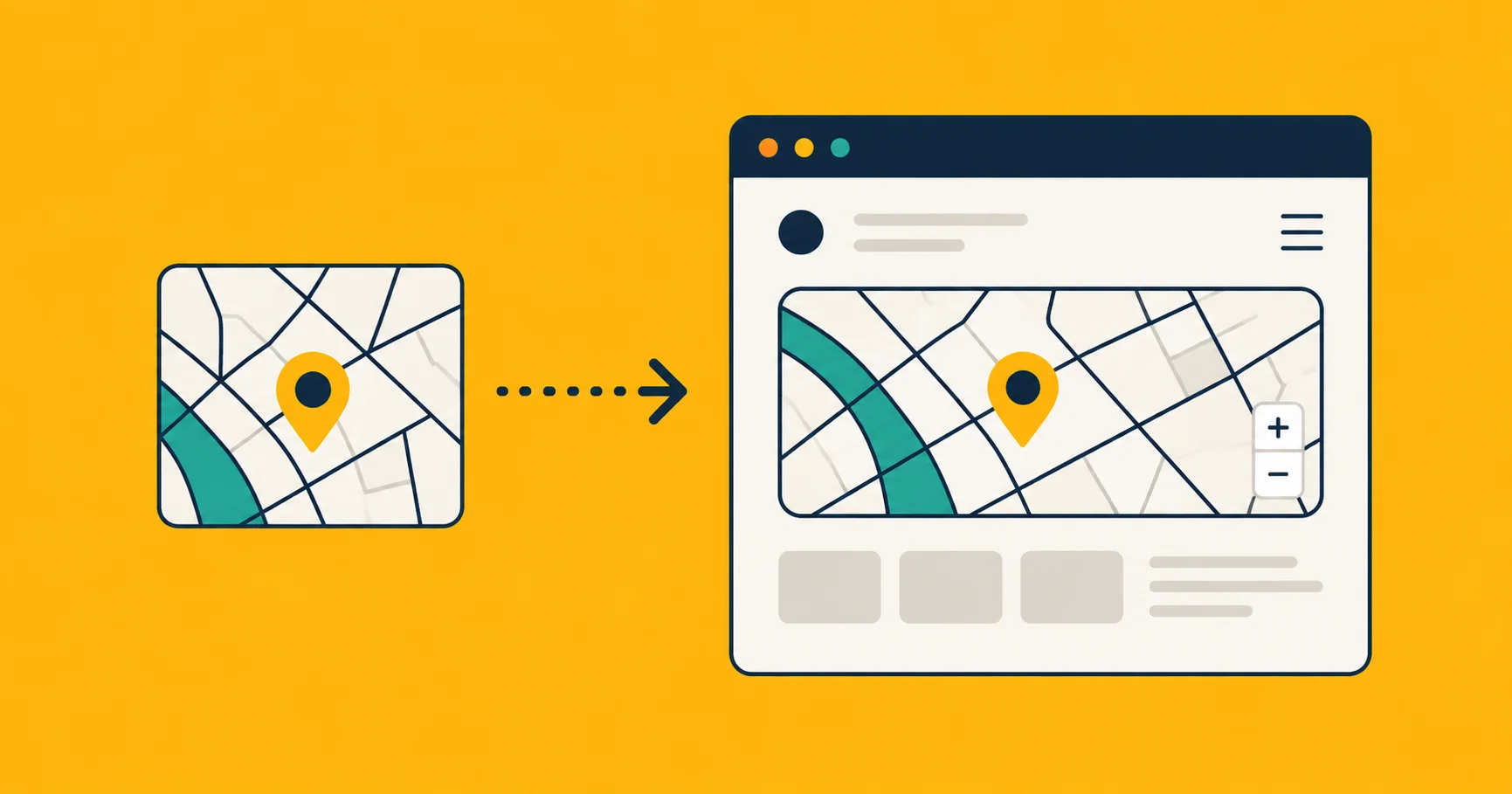
The idea is simple: your map data becomes a live map on a URL. You send a link. They click it. The map opens. No software, no file, no instructions needed.
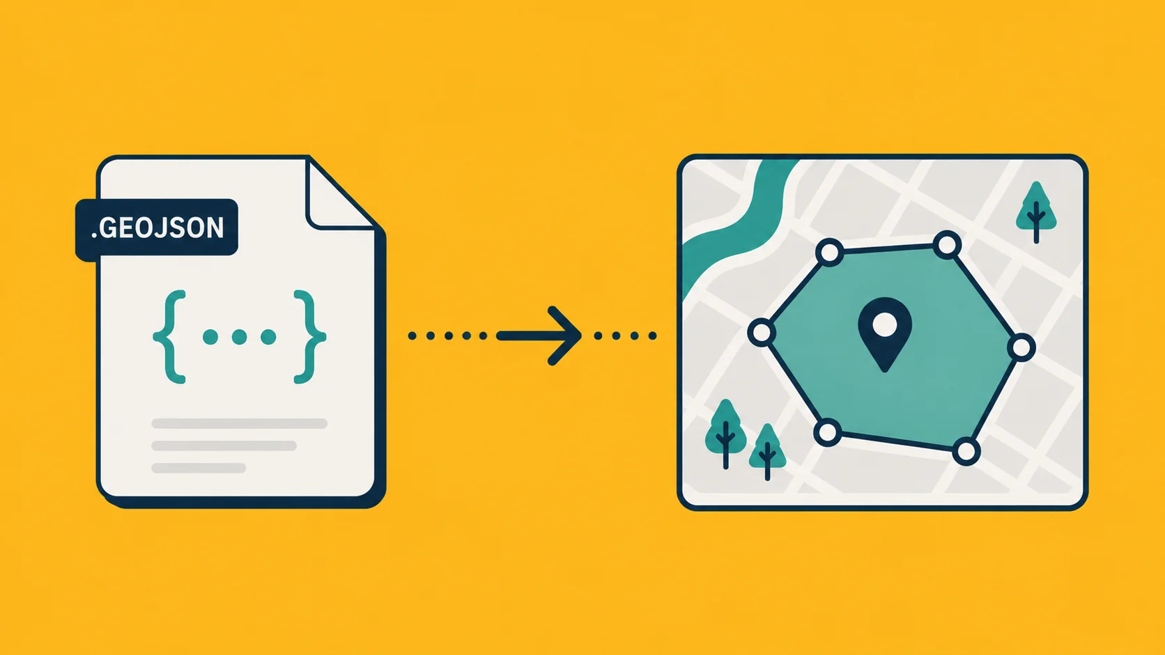
Georaf.com lets you upload a GeoJSON or Shapefile, and it generates an embeddable map you can share as a link or drop into a webpage or report. The full walkthrough is in how to embed a map without Mapbox, but the short version is: upload your file, copy the embed link, and share it.
This approach also solves the update problem. When your data changes, you update the source and the link automatically reflects the new version. No resending files.
When this works well: Ongoing projects where data changes. Anything going into a report, a website, or a client portal. Cases where you want the map to look professional and load fast on mobile.
Where it falls short: You need to host the data somewhere (Georaf handles this). It's slightly more setup than dragging a file into Google Earth. And if the recipient wants to download the raw data, they'd need you to send the file separately.
Option 3: Convert to the format their tool expects
Sometimes the person you're sending to isn't a total beginner. They use Excel, or they have a basic mapping tool at work, or they just want the data in a spreadsheet so they can look up addresses. In those cases, the right move is to convert to something they can actually open.
A few common situations:
- Their tool only accepts Shapefiles. Some government portals, legacy GIS setups, and enterprise software only accept Shapefiles. If you have GeoJSON or KML, you need to convert. Georaf converts both directions.
- They want coordinates in a spreadsheet. If your entries are points (addresses, sampling locations, waypoints), you can export them as CSV with latitude and longitude columns. Most people can open a CSV in Excel and immediately understand it.
- They have a different GIS tool. If a colleague uses a different GIS program than you, they may need the data in a format their tool imports cleanly. GeoJSON is the closest thing to a universal format right now. Most tools accept it.
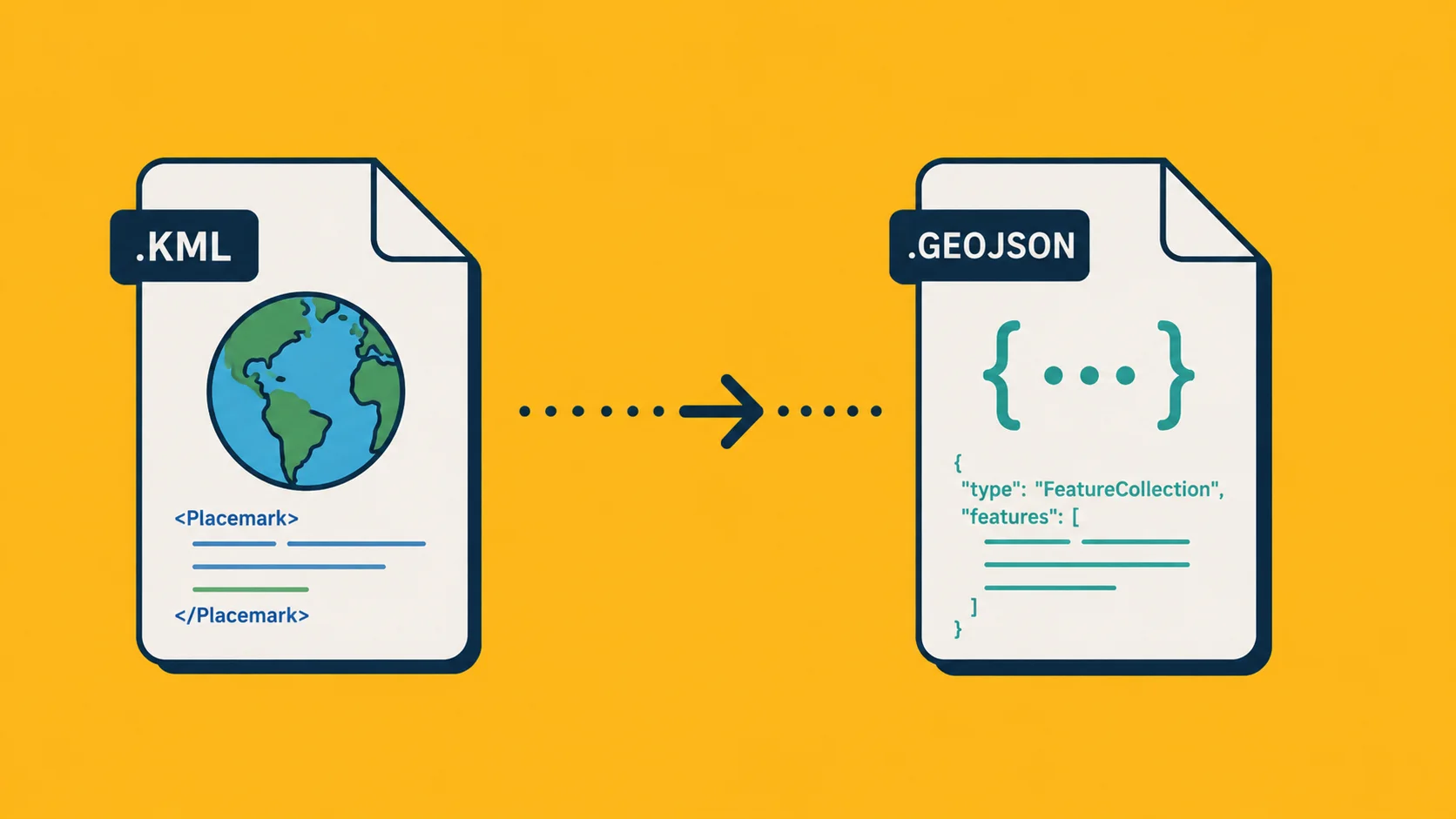
For KML to GeoJSON specifically, the convert KML to GeoJSON guide covers the steps and explains where things can go wrong during conversion.
When this works well: Sending to someone with a specific tool requirement. Working with government agencies or contractors who have strict format specs. Situations where the recipient needs to edit or analyze the data, not just view it.
Where it falls short: You lose the "just click the link" simplicity. The recipient needs to know how to open the file in their tool. If they're completely non-technical, this path creates more friction, not less.
Which one should you use?
It depends on what the person needs to do with the map.
If they just need to see it once, send a KMZ and point them to Google Earth. It takes two minutes and works for almost everyone.
If you're sharing something ongoing, sending it to multiple people, or putting it in a report, an embedded map from Georaf is cleaner and more durable. One link, always current, works on any device.
If the recipient has a specific tool and knows how to use it, convert to the format they need. Georaf handles Shapefile, GeoJSON, KML, and KMZ conversions without requiring software installation on your end.
The real lesson here is that GIS software is a creation and analysis tool, not a sharing tool. Once the data exists, the job of sharing it is a separate problem, and it doesn't require the recipient to learn anything about GIS.